More than 100 images reveal the Cape Cod’s ocean currents, tide pools, geological forms, and orderly town grids from never-before-seen angles and perspectives.
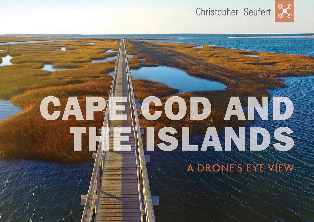
In “Cape Cod and the Islands: A Drone’s Eye View”—his sixth Cape Cod photography book, available in May—photographer Christopher Seufert introduces drone images of his native Cape Cod’s landmarks and little-known hideaways.
From altitudes of up to 400 feet, Seufert captured places and moments such as the wreck of the Liberty ship James Longstreet, Provincetown dune shacks, a great white shark, and surfers at Wellfleet’s LeCount Hollowup.
The photographs give equal exposure to both hidden corners and well-traveled landmarks of every towns on the cape, including Martha’s Vineyard and Nantucket.
The author’s creative use of the latest drone technology will be a revelation for even the most seasoned Cape Codder.

ABOUT THE PHOTOGRAPHER
Based in Chatham, Cape Cod, Christopher Seufert has been an aerial photographer since 1992, and received a commercial UAV license with the FAA in 2016.
Along with capturing images and publishing photography books, Seufert leads custom photographic tours throughout Chatham and the national seashore.