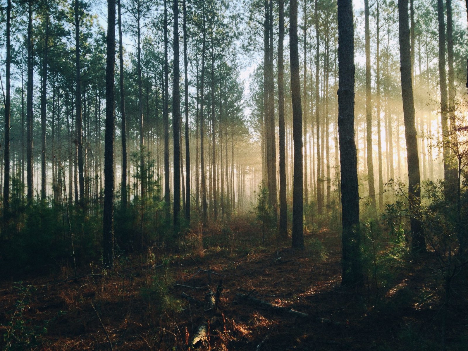
There are shocking statistics that show that the world’s forests are being destroyed at an alarming rate of about 50 football fields every minute. However, there is still a lot we don’t know, such as when and where the deforestation is happening and who is responsible.
Most of the time, when deforestation is identified, it is already too late. This is why remote sensing technology using satellites and field inventory systems have been developed to monitor the world’s forests in near real-time.

Cutting-edge technology harnesses the power of satellite technology and cloud computing to identify where trees are growing and disappearing. Data that would have taken years to process can now be viewed and analyzed in a matter of seconds. Authorities can not see where forest clearing is happening in near real-time, and law enforcement can stop the illegal logging before more forest is lost.
National forest monitoring capacity increases
An increasing number of countries have started using national forest inventories and remote sensing to monitor their forests. This is because lots of people are now aware of the direct relationship between deforestation and global warming. Advanced technologies have improved forest monitoring abilities, reducing the rate of deforestation worldwide. That is why it is important to know the forest monitoring capacity, which will provide us with Forest Reference Emission Levels.
Now, we are able to measure the amount of carbon that is stored in forests which will help us regulate emissions of greenhouse gasses. Also, one of the best ways to attain our goal of reducing global warming is to protect and manage forests. This contributes immensely to reducing greenhouse gasses (up to 30 percent). By doing this, we can prevent the global rise in temperature of more than 1.5 to 2 degrees Celsius.
Forests are gradually reaching their tipping point if temperatures continue to rise. Soon, they will start emitting greenhouse gasses instead of storing carbon. However, not all hope is lost because we are developing more complex forest monitoring methods which will help reduce deforestation and keep our forests safe. Forest monitoring has been around since 1946. The U.N. Food and Agriculture Organization (FAO) has done lots of assessments on the carbon content and forest area using data from different national forest inventories. Recently, we have started using satellite remote sensing data to get almost real-time changes of the forests over time. And as of now, over 85 percent of forests worldwide are monitored with high-tech remote sensing equipment.
All of these efforts, especially the use of remote sensing and National Forest Inventories, have provided countries with the ability to report on the status of their forests and put in place policies that help them tackle deforestation and climate change. The use of these technologies has significantly increased between 2005 and 2020. Countries in the tropical and non-tropical zone often use a combination of National Forest Inventories and remote sensing. In contrast, the U.S. and countries in Europe use multi-date National Forest Inventories for providing reports on the statuses of forests.
Voluntary Guidelines on National Forest Monitoring
These guidelines provide a framework for methodologies, best practices, and equipment when planning and implementing a multi-purpose national forest inventory. It aims to provide a solid, long-term forest monitoring system to prevent deforestation and reduce global warming.
These guidelines are created as a reference for different countries when working with forests taking into account their capacities and needs. It provides the best actions to take, clearly defines the responsibilities and roles of various stakeholders, and things that need to be implemented during a national forest monitoring process.
The guidelines can be grouped into Governance, Scope, Design, Data, and Overall principles. For example, the Governance principles provide guidelines on the following areas: Country ownership and responsibilities, Legal and policy basis, landscape view, the institutionalization of NFMS, and research infrastructure and capacity building. If institutionalized, the country can have more control over the national forest monitoring systems, making the generation and flow of information more sustainable. That is why we need permanent institutions with solid rules, making it easy to sustain the NFMS. Now, here are the other principles:
Scope principles
- Participatory discussion process
- Satisfaction of national information needs
Design principles
- Integration of and consistency with existing information sources
- Flexible approach
- Multi-purpose approach
- Feasibility including cost-efficiency
Data principles
- A well-defined data and information-sharing policy
Overall principles
- Credibility through transparency and quality
- Collaboration at the international level

All of these guidelines are put in place to help provide more control over forests and enforce sustainable practices that will reduce deforestation and climate change. Nowadays, many countries and institutions are increasingly adopting sustainable foresting and using national forest inventories and remote sensing to care for their forests. With the help of complex technologies such as satellite remote sensing technologies, we can monitor a huge number of forests worldwide.